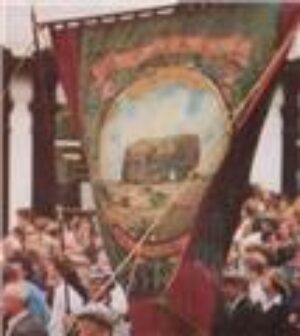
Following the demolition of Marsden Village in the early 1960’s mining families were
re-housed in South Shields or the newly built council estates in Whitburn village.
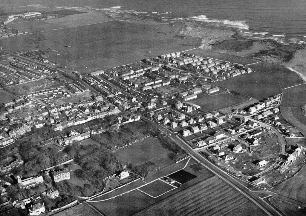
F Whellan wrote 1894.
Whitburn, is the principal portion of the parish, and comprises the rural village of Cleadon, Whitburn Colliery, and Marsden. The chief industries of this parish consist of coal-mining, farming, and quarrying limestone. Near the Whitburn colliery there is a large paper and pulp manufactory. The coal is worked by the Harton Coal Co., Limited, who have recently acquired the Marsden royalties and Whitburn colliery.
“The village of Whitburn, one of the most attractive in the county, is most pleasantly situated on the southern declivity of an eminence, commanding a beautiful prospect of the surrounding country and the sea.

“The Bents, a pleasant little fishing village on the south of Whitburn, is where the fishing boats are moored. On the smooth sands here there is good bathing during the summer.”
[From History, Topography and Directory of Durham, Whellan, London, 1894]
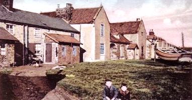
Until 1974, when the Local Government Act 1972 came into being, Whitburn was part of County Durham. The village now has a population of about 5,000.
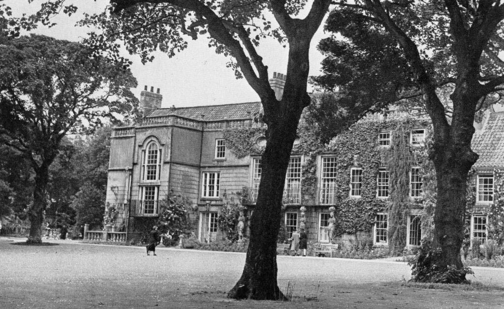
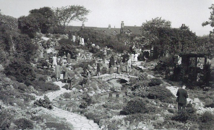
Today Whitburn has retained its village character, with its main street, parish church, cricket ground and park with bowling greens and tennis courts. It is generally accepted that Lewis Carroll wrote The Walrus and the Carpenter while holidaying at his cousins’ house in Whitburn.
C L Dodgson (Lewis Carroll) was a cousin of Mrs Willcox who’s husband built High Croft in Whitburn where on occasions Carroll holidayed.
Whitburn windmill, dating from the eighteenth century, is a local landmark. Durham County Council, which covered the South Tyneside area until 1974, took ownership of the mill in 1960 from the Church Commissioners. The building is listed (Grade 2) as it is considered to be of special architectural and historical importance and is protected therefore by the requirements of the Planning (Listed Building and Conservation Areas) Act 1990. In 1991/1992 South Tyneside Council undertook a restoration project of the mill, including restoration of the sails, for which it was awarded the Civic Trust Award.

An early image of Whitburn Windmill. 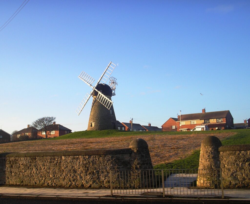
The Mill 2013
There are three schools in Whitburn – Whitburn Village Primary School, Marsden Primary School and Whitburn Church of England Academy (formerly Whitburn Comprehensive School).
There are 2 public houses. The Grey Horse on North Guards and the Jolly Sailor on Front Street.
The Changing Face of East Street
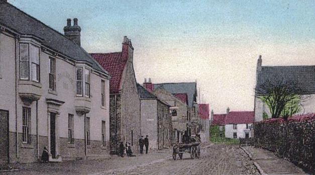
An early image of East street. 
Later image of East street with new Grey Horse. 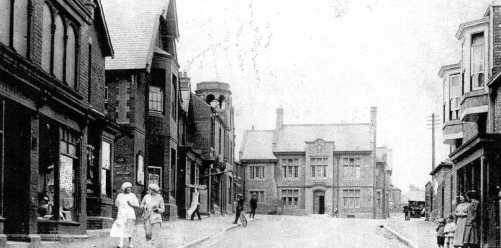
East Street 1930’s 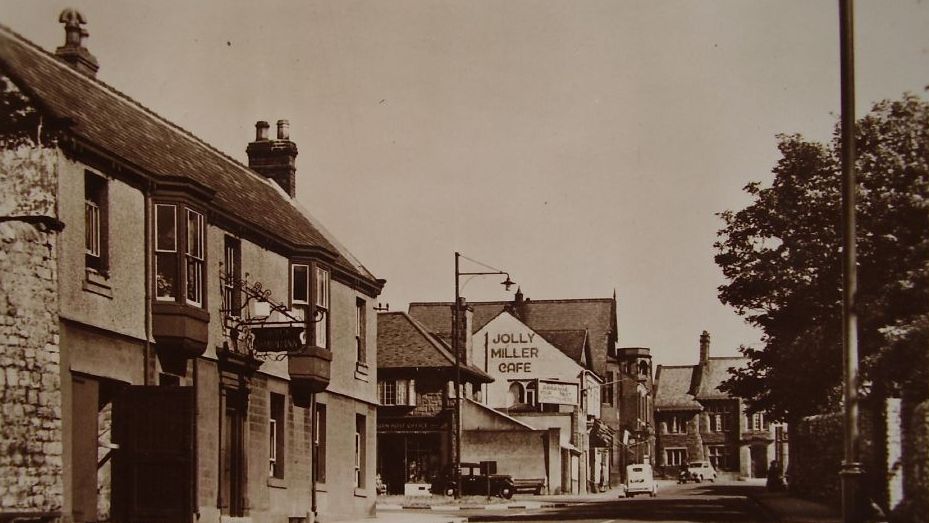
1940’s 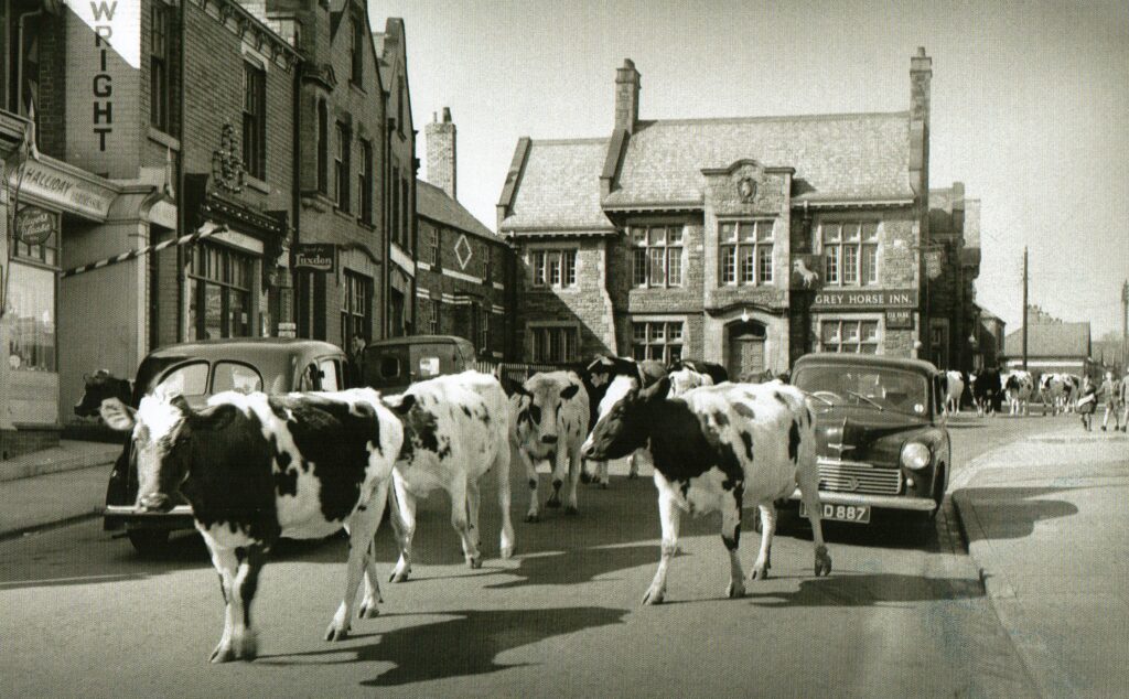
1953 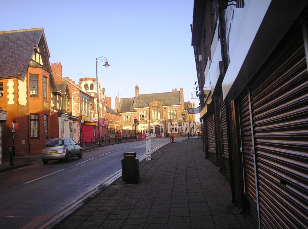
2013
Early history.
Evidence suggests that the Whitburn area may have been inhabited since the end of the ice age. Mesolithic flint tools have been found on the coast at Whitburn and Marsden Quarry.
A harpoon-head made of antler was found on the Whitburn coastline in 1852.
In March 1989, a probable Mesolithic site was identified by archaeologists at Potter’s Hole on the coast just south of Souter lighthouse.
In 1929 a human burial in a cist (stone lined grave) was found during the widening of the coast road between the windmill and Wheatall farm. The cist is believed to be from 2,000 B.C. It is now housed in South Shields museum.
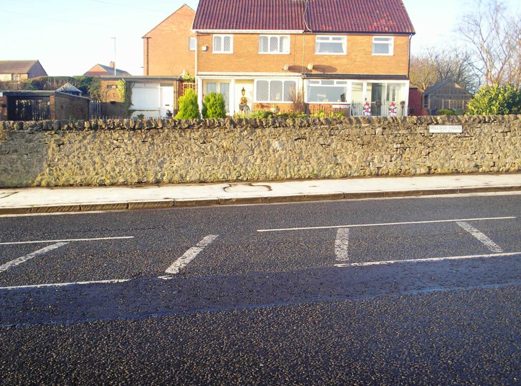
The workmen at the time chiseled an arrow into one of the stones of the wall to show the precise spot.
Roman coins have been found in Whitburn and it has been suggested that boats supplying the Roman fort at South Shields probably used Whitburn bay as a staging point.
According to the Venerable Bede, St Hilda (c. 614 – 680) obtained a grant of land for the building of a monastic establishment on the North of the Wear. One historian (Greaveson) claims that a small church was built on Souter point Whitburn, although this cannot be proven. In fact later historians notably Surtees were inclined to dismiss this as the site.
The first written evidence of the existence of Whitburn comes in the Boldon Buke, Durhams own Doomsday Book, complied in 1183. At this time it shows Whitburn as a small agricultural community paying feudal dues to the church. It was probably a 2 row village with a central green.
By far the oldest building in the village is Whitburn Parish Church, and is unusual in having no dedication. Although there is some historical evidence that suggests it may be St Andrew’s others have suggested St Mary’s. Largely built in the 13th century the church was heavily restored in 1867/68, but retains a number of features of interest including 12th and 13th century Medieval cross slab grave covers. A recently discovered sarcophagus slab rolls back the Christian history of the parish, possibly to the late Anglo-Saxon period.
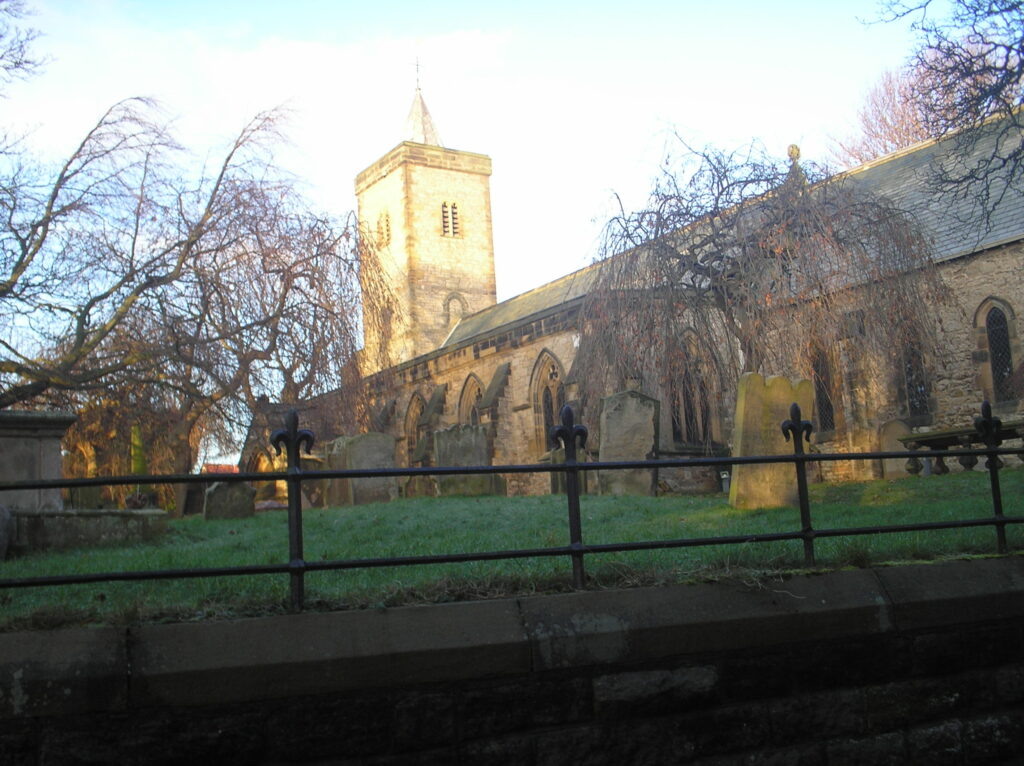
Medieval artefacts including a silver ring, belt buckle and a bronze plaque were found at Glebe farm.
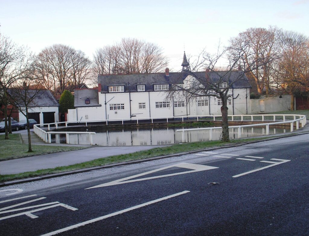
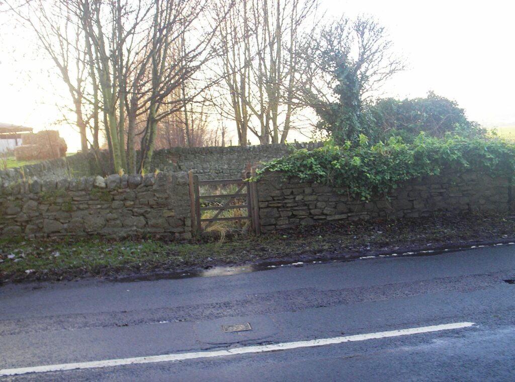
Next to the farm on Moor Lane is reminder of Whitburn’s medieval past, the village pound or pinfold. Saxon in origin, “Pundfold and Pund” both mean enclosure.
The village pound was a feature of most medieval villages. The enclosure was used to hold stray livestock until they were claimed by the owners.
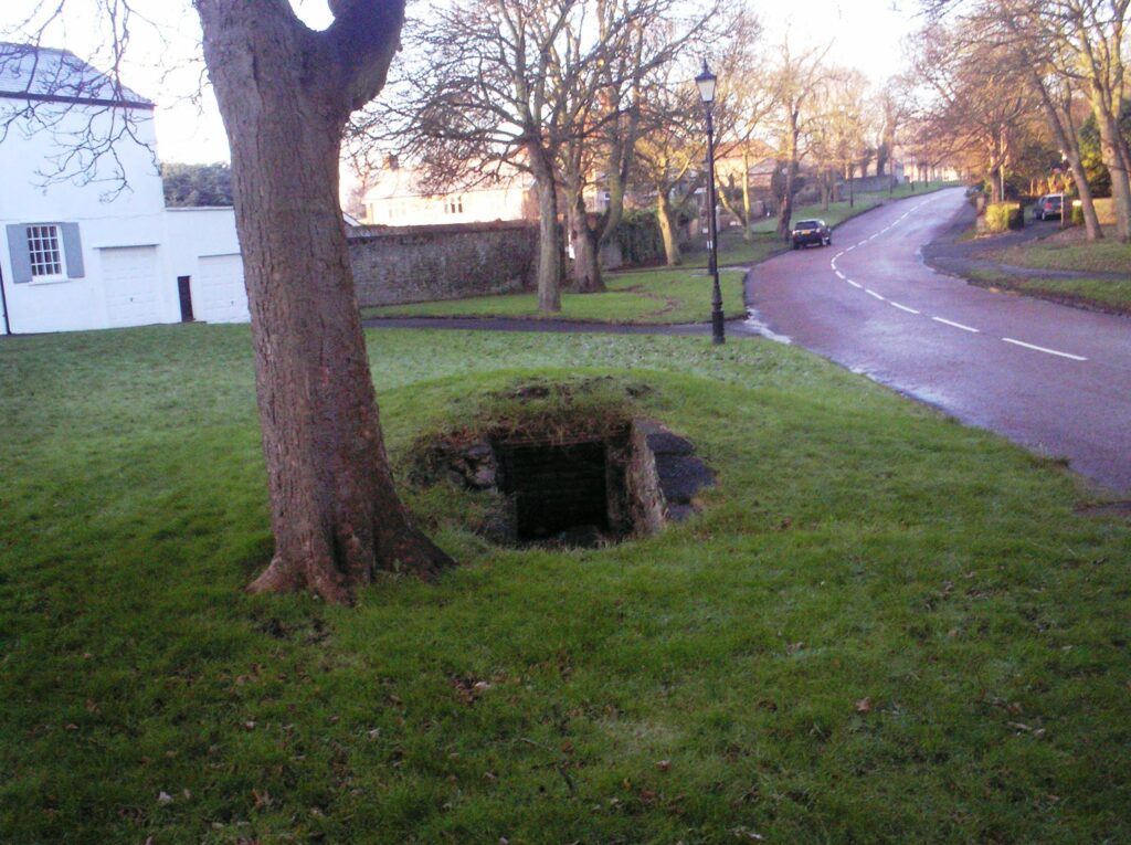
The village well is another feature of the past that can still be seen at the bottom of Moor Lane. Water was not piped into the village until the late 1800’s
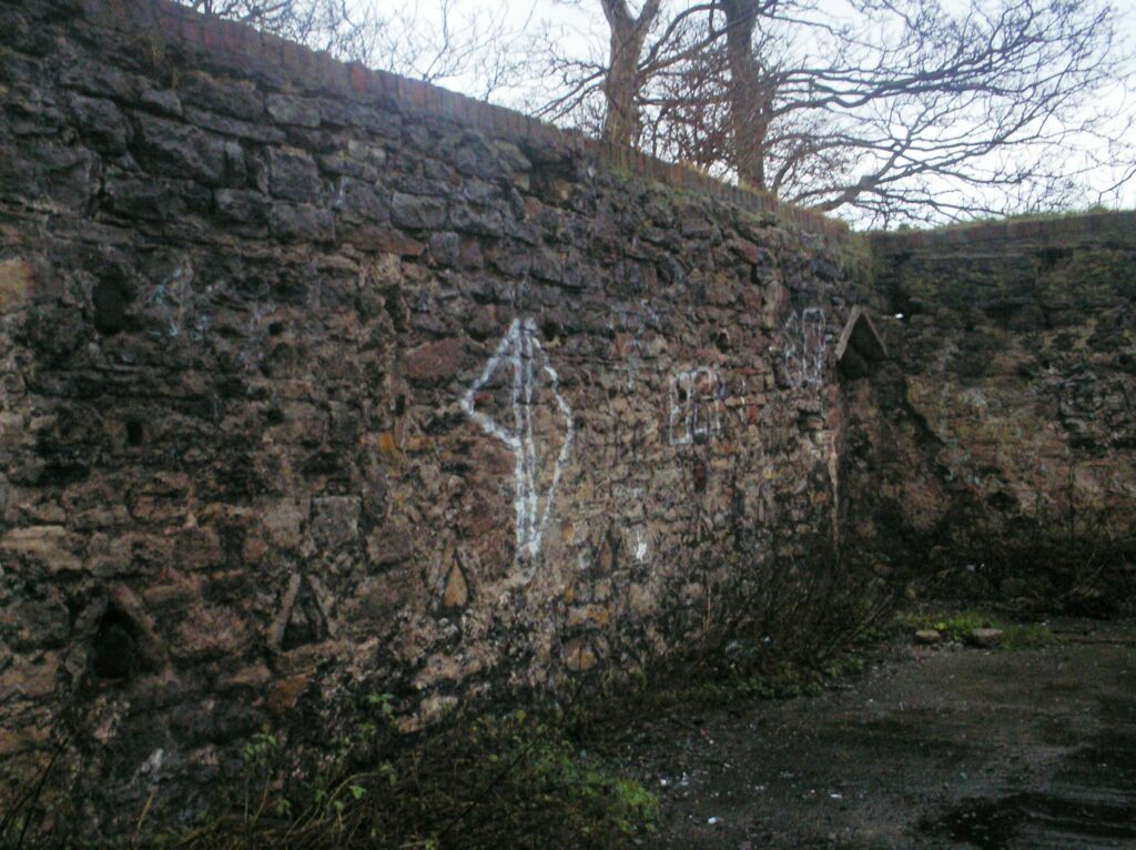
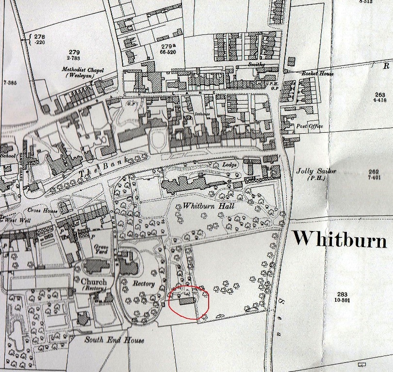
Until being bombed on 22nd June 1940 a Tithe barn still stood in Whitburn (located in the Hall grounds). It had probably existed from the foundation of the church so earlier than 1245.
The same bomb blew out several windows in the church.
A Tithe is one tenth of something. In medieval times villagers paid one tenth of a farms produce to the church. This produce was stored in Tithe barns.
There appears to have been no attempt to rebuild or save the barn after the war. Later it
was demolished, leaving just one wall standing which was incorporated into a boundary wall and topped with red brick.

In 2005 following a proposed development of the tithe barn site the Archaeological Practice
Ltd undertook an assessment of the area this is a summary of their findings.
Whitburn Church Lane Assessment
The main findings of the assessment are that while prehistoric, Roman and early
medieval settlement sites are well attested in the vicinity, particularly along
the coast, there is no specific evidence for such within or in the immediate
vicinity of the present assessment site. The first record of Whitburn dates
from the 12th century, while the origins of the church, north-west of the
assessment site, appears from structural evidence to be 13th century, but could
be rather earlier.
Recommendations based on these findings call for the recording, preservation
and consolidation of a surviving tithe barn wall of likely medieval origin, and
evaluation of the site by trenching to determine the character, extent,
significance and state of preservation of any buried remains found to survive
there, including remains of the tithe barn and associated structures. Should
sub-surface remains of archaeological significance be found to survive as a
result of the evaluation exercise, further investigative and recording works
may be required in order to mitigate the impact of development.
Since this assessment was undertaken no further planning applications have been received. Before any building work can be carried out the local authority will ensure the recommendations of the assessment are adhered too.
It maybe just a wall but its a substantial medieval wall that has been standing for approximately 800 years and is probably the oldest man-made structure in Whitburn and part of its history.
Today the site is neglected and used as a drinking den with broken bottles and beer cans strewn around the area. The wall itself has been defaced by graffiti.
B Cauwood 2013
References
The story of Whitburn — E L Holmes
Whitburn Parish Church — Jos Hutchinson
Local history — Southtyneside council website
Archaeological Practice Ltd –Whitburn Church Lane Assessment
All copyrights acknowledged were known.
Copyright © 2013 Marsden Banner Group.
All rights reserved. Permission granted to reproduce text for educational use only (please cite source).
